← Back to all capstone projects
Mercy Me the Ecology: Bridging the Gap Between GIS and Citizen Scientists
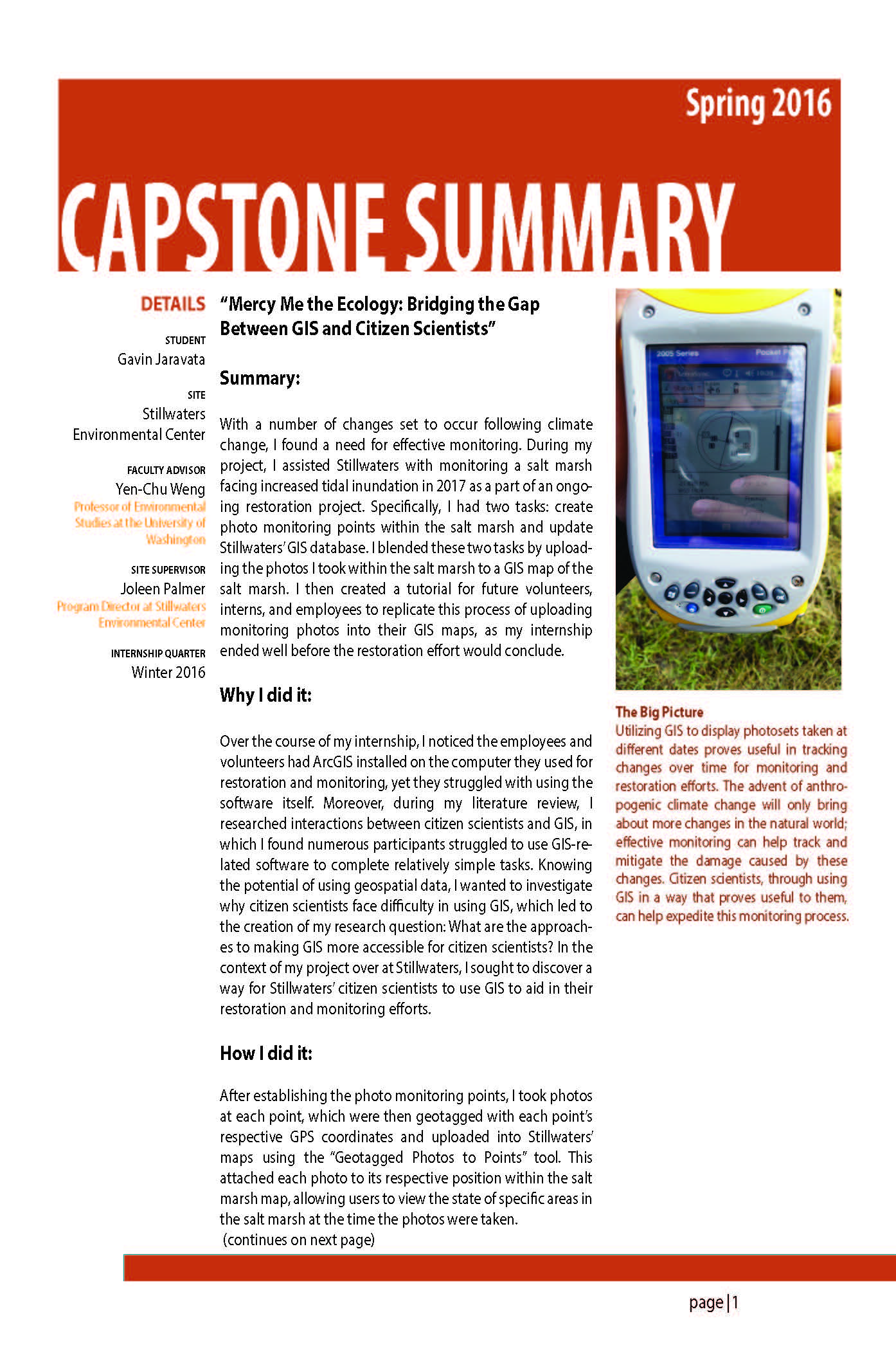
With a number of changes set to occur following climate change, I found a need for effective monitoring. During my project, I assisted Stillwaters with monitoring a salt marsh facing increased tidal inundation in 2017 as a part of an ongoing restoration project. Specifically, I had two tasks: create photo monitoring points within the salt marsh and update Stillwaters’ GIS database. I blended these two tasks by uploading the photos I took within the salt marsh to a GIS map of the salt marsh. I then created a tutorial for future volunteers, interns, and employees to replicate this process of uploading monitoring photos into their GIS maps, as my internship ended well before the restoration effort would conclude.