← Back to all capstone projects
Spatial-Visual Analytics: The Role of GIS in Environmental Analysis
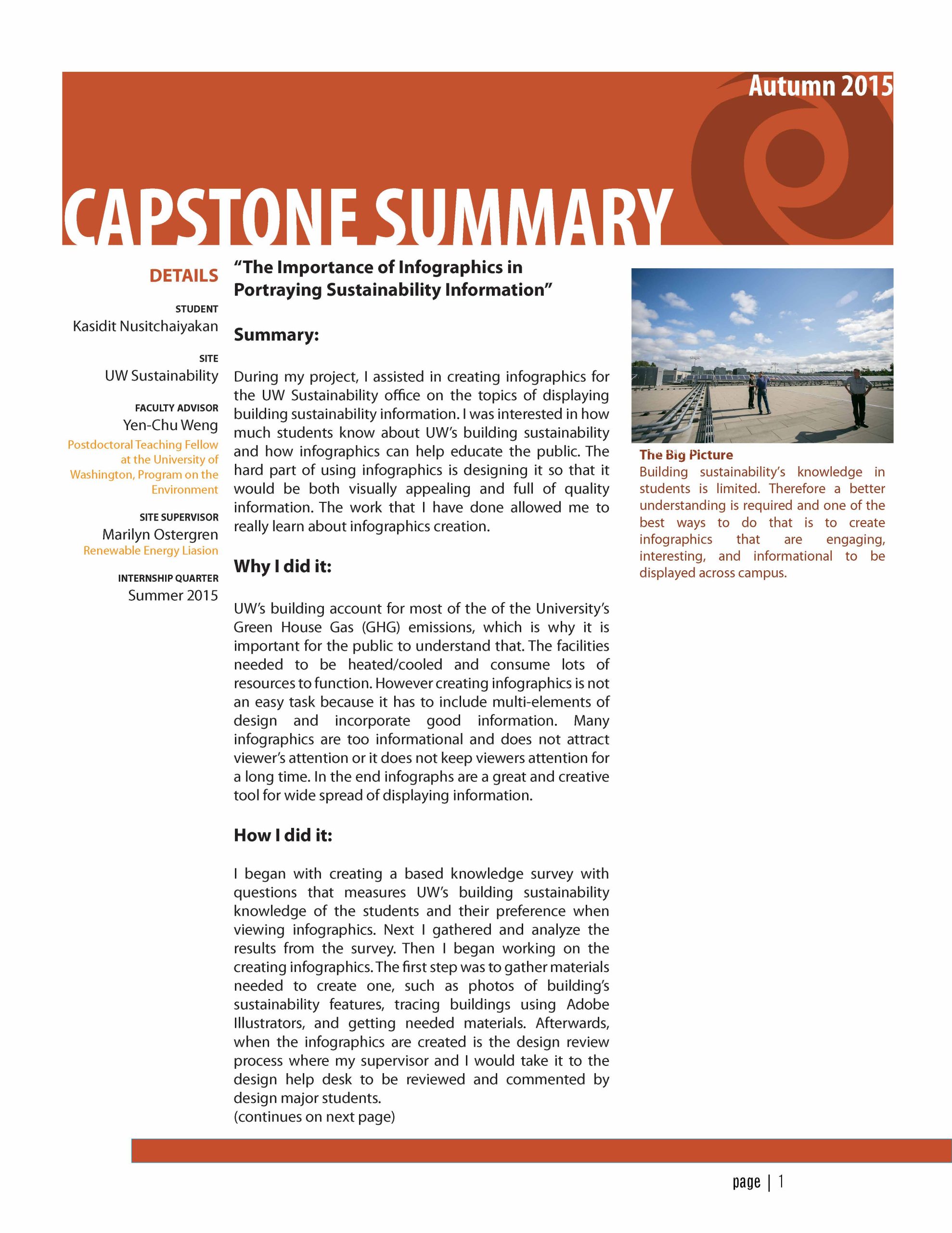
GIS enables the analysis of complex environmental systems through place-based analysis, relational database management, and visual displays. Although GIS contributes significantly to environmental analysis, considerations regarding the use of GIS must be considered due to the breadth of environmental problems. This study was conducted to identify challenges of using GIS in interdisciplinary environmental analysis. To accomplish this task, I administered a survey to UW professors with GIS experience, conducted a literature review and reflected on my internship experience. Awareness of the limitations is important so analyses are scaled to the issue, maps are transparent, and GIS is applied to relevant situations.